
OMVC
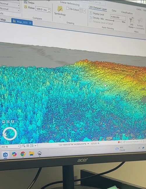
Collaborative mapping projects with Old Massett Village Council. These range from LiDAR projects that utilize OMVC data to place names projects for the northern region of Haida Gwaii. Update: **New 5ft Tide Line Geofence App for Tow Hill
Rediscovery
Here you’ll find mapping assistance with Rediscovery including AIS tracking of vessels for ETAs as well as data and links related to the North and West Coasts of Haida Gwaii.
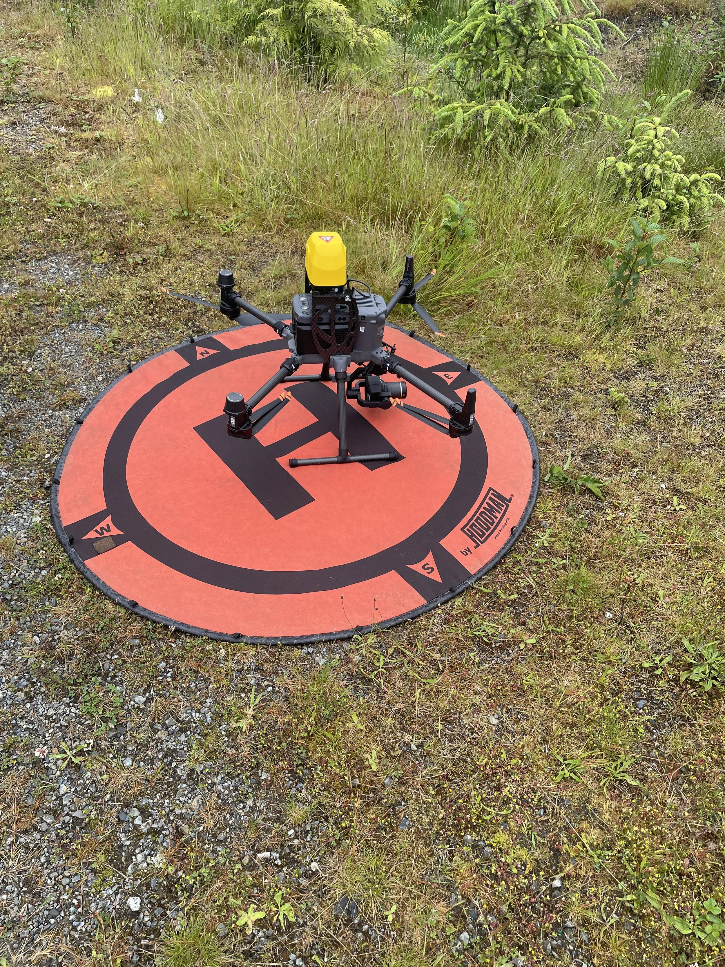
M350 RTK (OMVC Drone)
Here you’ll find information specific to the DJI M350 RTK drone that was recently purchased by OMVC. You’ll be able to find project lists and maps as well as examples of data collected.